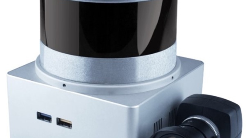
Mobile laser scanner
 | Model: kAARTA Stencil 2.16 Room: Construction IT Lab (2-32) Reference: LE-359 Description: Customisable platform for swift, long-range 3D mapping and digital surveys, suited to outdoor and large-scale interior applications. Features:
|
Interested in using our equipment? Existing users can book through our online booking system, while new users can request access by filling out the Account Creation Request form.
